Trusted Land Surveying Services in San Jose, CA
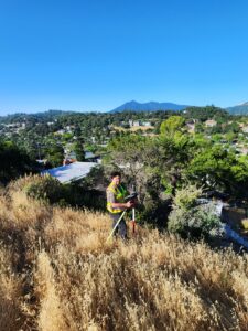
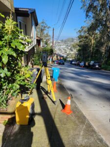
 At Transit Land Surveying, Inc., we provide professional land surveying services to homeowners, businesses, developers, and construction professionals in San Jose. Our experienced team delivers precise measurements and detailed reports for property boundaries, construction planning, flood risk assessments, and more. Whether you need a survey for a new project, legal documentation, or compliance with regulations, we offer reliable solutions tailored to your needs.
Expert Land Surveying Services in San Jose
We offer a full range of land surveying services to support residential, commercial, and infrastructure projects. Our licensed surveyors use advanced equipment to deliver accurate results for properties across San Jose.
Boundary Surveys
A boundary survey determines the exact limits of a property. This information is essential for property owners, developers, and contractors who need to confirm legal boundaries before building or making improvements. We research property records, locate markers, and measure land features to establish clear property lines.
FEMA Elevation Certificates
If your property is in a flood zone, you may need a FEMA elevation certificate for insurance purposes or to meet city regulations. Our team conducts elevation surveys to measure your property’s height in relation to flood levels. This certificate helps homeowners and businesses determine flood insurance rates and ensure compliance with FEMA requirements.
For properties that may qualify for a flood zone exemption, we assist with Letters of Map Amendment (LOMA) to update FEMA records and potentially reduce insurance costs.
Topographic Surveys
A topographic survey provides a detailed map of a property’s natural and man-made features. These surveys show elevation changes, buildings, trees, drainage areas, and other important details. Engineers, architects, and developers use this information to design projects that fit the existing landscape. Our topographic surveys help with construction planning, grading, and drainage solutions.
Hydrographic Surveying & Mapping
For projects near bodies of water, we provide hydrographic surveying to measure underwater terrain and water depths. We use specialized equipment to collect precise data for marinas, bridges, environmental studies, and shoreline development. Our hydrographic surveys help ensure safe and effective planning for projects involving water.
Monument Preservation
Survey monuments are permanent markers that establish property lines and land divisions. Over time, these markers may become disturbed or lost due to construction or natural events. Our monument preservation services locate, restore, and document these important reference points, helping property owners maintain accurate legal boundaries.
Monitoring Surveys & Settlement Monitoring
Buildings and infrastructure can shift over time due to construction, soil movement, or environmental factors. Monitoring surveys track these changes and help prevent structural issues. We take precise measurements before, during, and after construction to detect any movement. Settlement monitoring is crucial for buildings at risk of shifting, especially in areas with ongoing development.
Construction Staking
For construction projects, accurate staking ensures buildings, roads, and utilities are placed correctly. Our team provides precise location markings to guide construction crews, reducing errors and keeping projects on schedule.
ALTA/NSPS Surveys
Commercial property transactions often require ALTA/NSPS surveys to confirm property boundaries, zoning restrictions, and improvements. We provide detailed reports that meet national standards for real estate due diligence.
Serving San Jose’s Growing Community
 San Jose is a vibrant and expanding city with a mix of residential neighborhoods, business districts, and industrial developments. As the largest city in Silicon Valley, San Jose continues to experience new construction, land development, and property transactions.
Whether you need a survey for a residential property, commercial site, or infrastructure project, we provide the data needed for informed decision-making. Our team understands the local regulations and land conditions that affect projects in San Jose.
Why Choose Transit Land Surveying, Inc.?
We are committed to providing accurate and efficient land surveying services in San Jose. Our clients trust us for:
- Experienced Professionals – With over 28 years of combined experience, we bring deep knowledge of land surveying best practices and local requirements.
- Advanced Equipment & Technology – We use high-precision instruments to deliver reliable results for all types of surveys.
- Fast & Responsive Service – We complete projects efficiently while maintaining accuracy. Our team communicates clearly throughout the process.
- Customized Services – Every property and project is unique. We provide personalized service to meet specific needs.
- Reliable Documentation – Our surveys and reports provide legally recognized documentation for property transactions, construction, and regulatory compliance.
Request a Free Estimate Today
If you need a professional land survey in San Jose, contact Transit Land Surveying, Inc. today. We offer free estimates and expert guidance to help you get started. Our team is ready to assist with accurate and dependable surveying services for your property.
