A Guide to the Land Surveying Process in Pacifica, CA
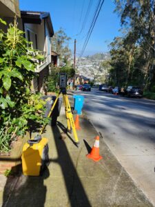
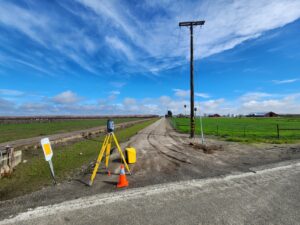
 At Transit Land Surveying, Inc., we provide professional and accurate land surveying services in Pacifica. Whether you are a homeowner, developer, or business owner, our team delivers precise measurements and detailed reports to support your project. Property boundaries, flood risk assessments, and construction planning all require accurate data. Our licensed surveyors ensure you have the information you need for legal, financial, and building decisions.
Below is a guide to what you can expect when working with us.
Identifying the Right Type of Survey for Your Needs
Each project requires a different type of land survey. Identifying the correct one is the first step.
- Boundary Surveys – Confirms property lines for legal purposes, real estate transactions, and construction planning.
- FEMA Elevation Certificates – Determines if a property is at risk for flooding and helps with insurance adjustments.
- Topographic Surveys – Maps elevation changes, land features, and drainage patterns for site development.
- Monument Preservation & Monitoring Surveys – Tracks land shifts and preserves critical survey markers.
- Hydrographic Surveys – Provides data for properties near bodies of water, including accurate measurements of underwater terrain.
If you are unsure which survey you need, we will assess your project and recommend the best solution.
Conducting a Boundary Survey
A boundary survey establishes clear property lines. This is essential for property transactions, new construction, and avoiding disputes with neighbors.
Our surveyors research historical records, locate existing markers, and take precise measurements to confirm property limits. If necessary, we install new markers to maintain clear legal boundaries. A detailed boundary survey ensures that any structures or improvements are within the correct property limits. This helps homeowners and developers move forward with confidence.
Determining Flood Risk with an Elevation Certificate
Flooding is a concern in many coastal areas, including Pacifica. If your property is in a FEMA-designated flood zone, an elevation certificate may be required to obtain or adjust flood insurance.
We measure your property’s elevation in relation to FEMA’s base flood elevation (BFE). If your property sits above the flood level, we can assist with a Letter of Map Amendment (LOMA) to remove it from the flood zone, which may lower or eliminate flood insurance costs. This certificate is also necessary for permitting and compliance with local regulations.
Collecting Data for Site Planning with a Topographic Survey
For new construction or land development, topographic surveys provide critical information about a property’s surface. These surveys map natural and man-made features, including elevation changes, vegetation, drainage areas, and existing structures.
- Architects, engineers, and developers use topographic data for:
- Grading and drainage design
- Road and utility planning
- Foundation placement for new buildings
Having accurate site data helps prevent unexpected issues and ensures a smooth construction process.
Protecting Your Property with Monument Preservation & Monitoring Surveys
Survey markers, or monuments, play a key role in defining property boundaries. These markers must be preserved to maintain legal land divisions. Our team specializes in monument preservation. We make sure markers remain intact and are properly documented for future reference.
Monitoring Surveys for Structural Changes
 Over time, properties can shift due to construction, soil movement, or environmental factors. Monitoring surveys track these changes, allowing property owners and developers to detect potential issues before they become major problems.
Regular monitoring is especially useful for:
- Buildings near active construction zones
- Properties at risk of settlement
- Areas with frequent erosion or shifting soil
Monitoring surveys help identify land movement early, protecting property owners from costly repairs or safety hazards.
Other Surveying Services Available in Pacifica
In addition to the core services above, we offer a full range of land surveying solutions to meet various project needs.
Some of our additional services include:
- Construction Staking – Marks precise locations for buildings, utilities, and infrastructure.
- ALTA/NSPS Surveys – Provides detailed property information for commercial real estate transactions.
- Easements/Legal Descriptions – Defines access rights and property divisions for legal documentation.
- Lot Line Adjustments – Assists property owners in modifying property boundaries.
- On-Call Government Contract Support – Supports public agencies with surveying needs.
If you don’t see the service you need listed, contact us. We customize our services to fit unique projects.
Contact Us for a Free Estimate Today
If you need professional land surveying services in Pacifica, Transit Land Surveying, Inc. is ready to assist. Contact us today for a free estimate and expert guidance on your project. Our team is here to provide accurate and reliable surveying solutions for your property.
